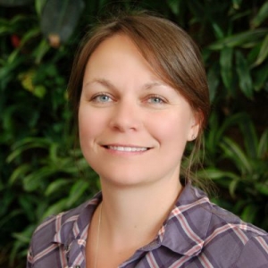
Driven by a love for the outdoors and desire to protect and understand the environment, Koreen’s academic background is rooted in geography and geomatics. She completed a Masters of Science (2008) at Acadia University and PhD at Carleton University (2016), both of which used geomatics and remote sensing to map and monitor wetland ecosystems. The immense amount of remotely-sensed imagery that is being captured daily presents continual opportunities and challenges for her research. By coupling remote sensing with extensive monitoring in the field, her research helps detangle hydrological, vegetation and climate interactions so that we can better predict the responses of wetlands and northern ecosystems to change. She joined the Department of Geography and Environmental Studies in 2019 and her current major research projects aim to monitor drought and predict wildfire in northern peatlands using a variety of remote sensing data. She is also a director of the Geomatics and Landscape Ecology Laboratory where she is aiming to work closely with ecologists and biologists to integrate the data products produced through remote sensing with ecological applications such as habitat mapping and biodiversity monitoring.
